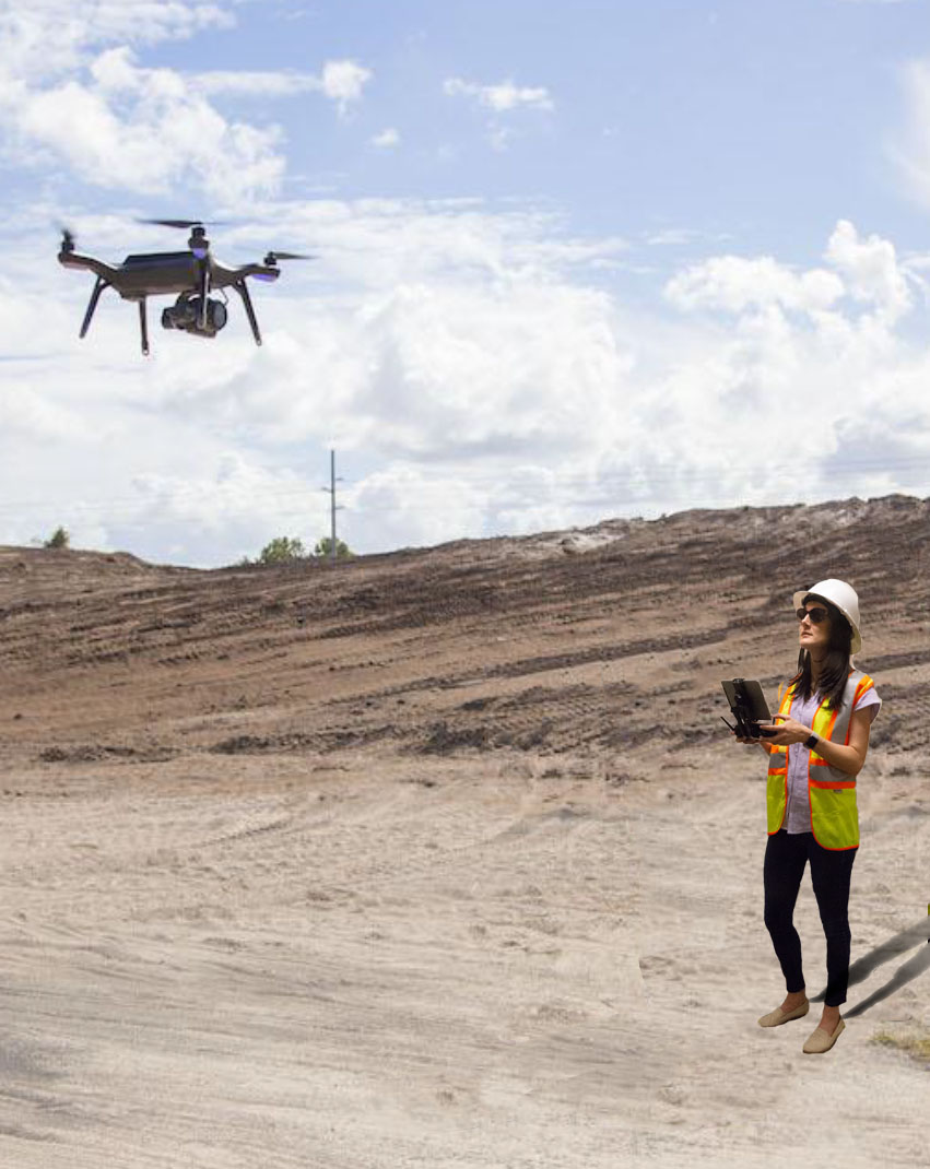
AERIAL PHOTOGRAPHY

Our FAA-certified UAV (drone) pilots collect aerial imagery of your site using either manual or pre-programmed flight modes. Imagery and data are used to create 3D models, can be integrated into VR/AR environments, or provide project inspection and monitoring, including ortho rectified imagery and digital terrain models of your data.

EARTHWORKS MEASUREMENT

Our technology allows us to easily, accurately, and immediately Kapture your site data for up-to-date volume measurements, cut fill analyses, and accuracy of grading throughout your project.

TERRAIN AND CONTOURS

Our methods can Kapture your site data in a fraction of the time of traditional field run surveys. Regular scheduled flying can provide you with progress statistics and up-to-date terrain information throughout the duration of your project

SITE INSPECTION AND MONITORING

Using aerial drone flights and 3D scanning, we can monitor site progress and provide enhanced inspections of water towers, gas and oil lines, facades, and bridges.